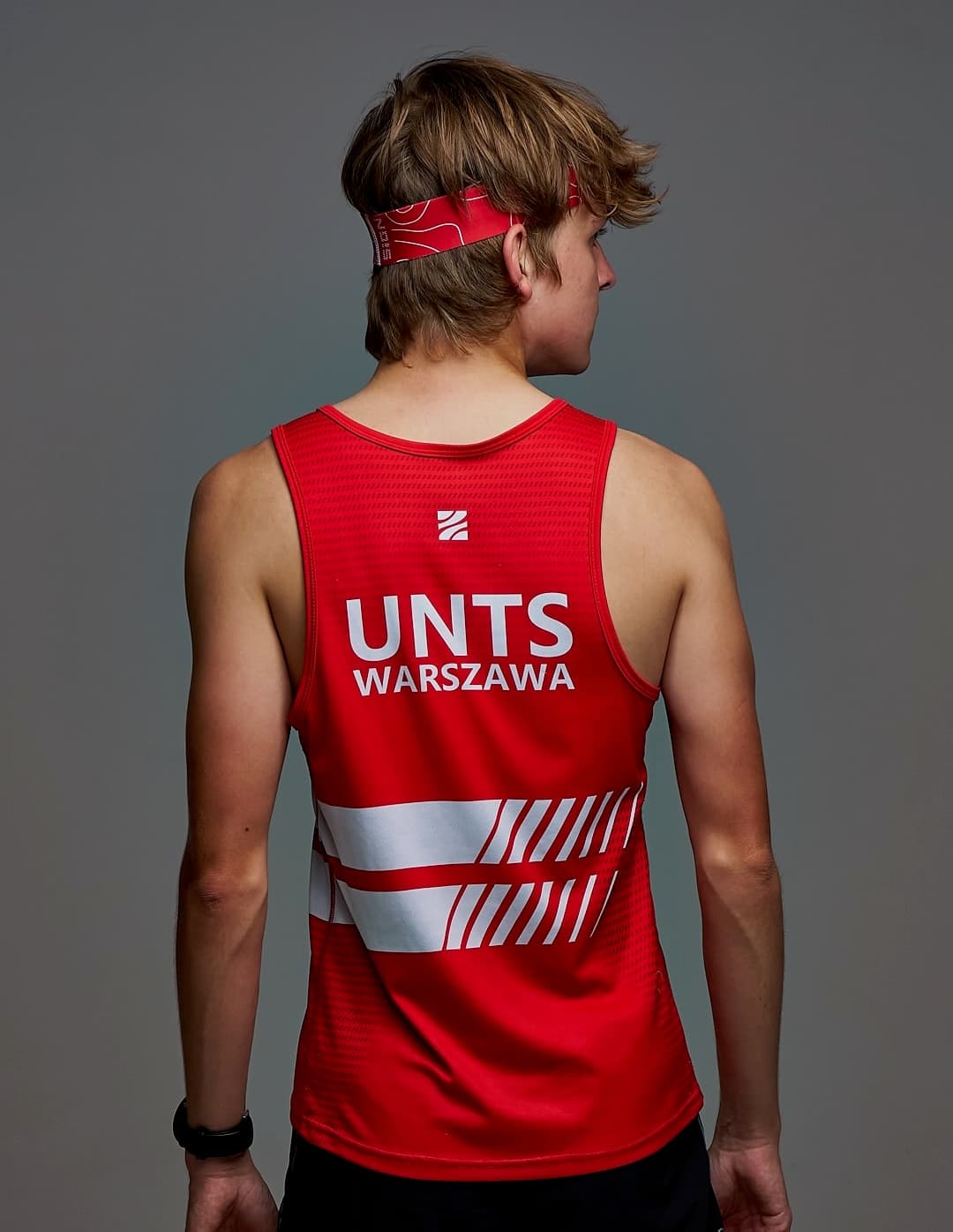
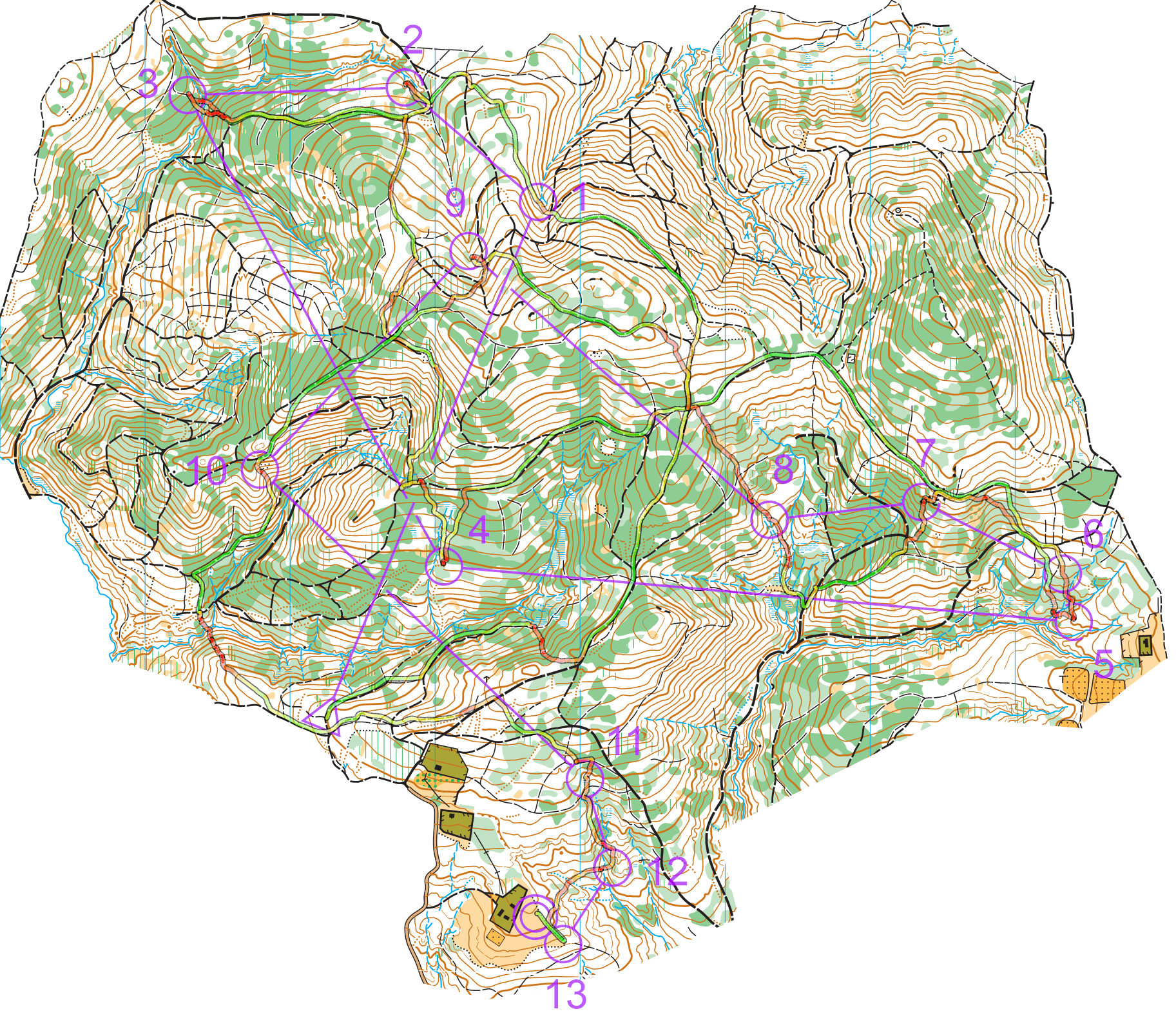
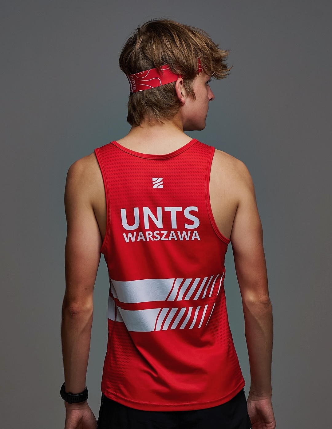
I've been an orienteering runner for over 10 years, representing the UNTS Warszawa club. Over that time I've won 13 medals at the Polish Championships, 5 of them gold. I was also a member of the Polish Youth Team and represented Poland at the 2022 European Youth Orienteering Championships (EYOC). Orienteering combines running with navigation: you race through unknown terrain with only a map and a compass, choosing your own route between the controls, so every race is as much a mental challenge as a physical one.
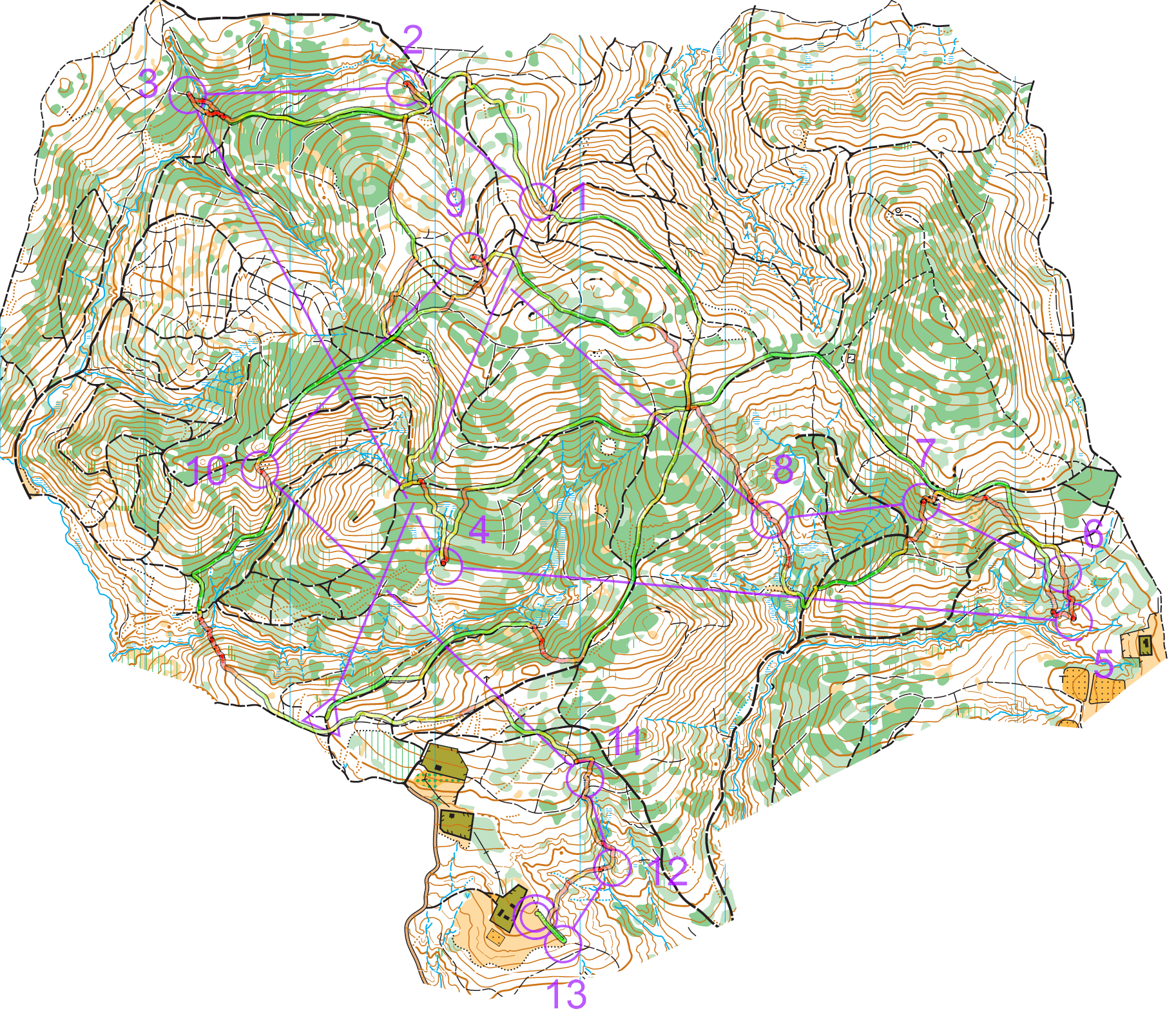
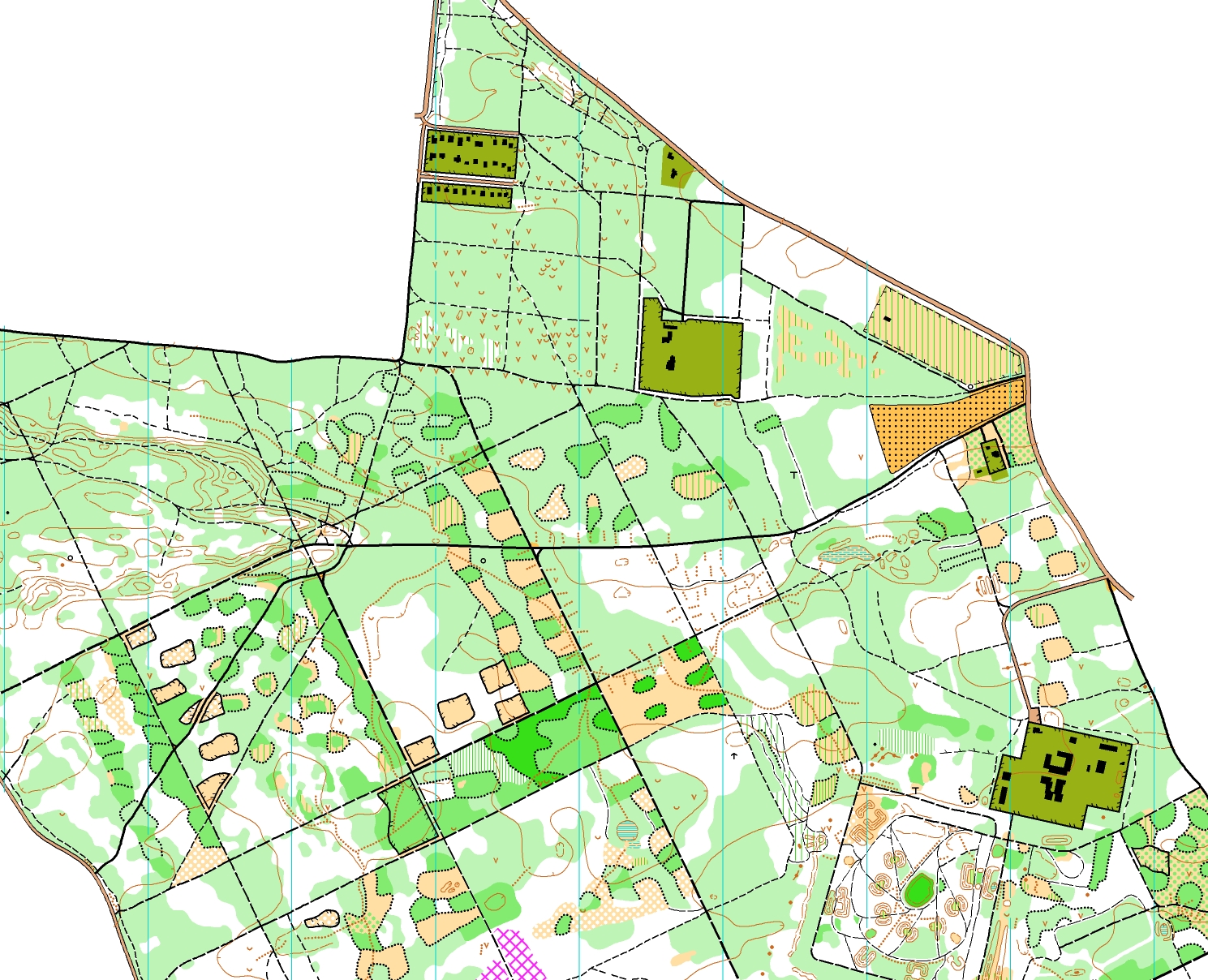
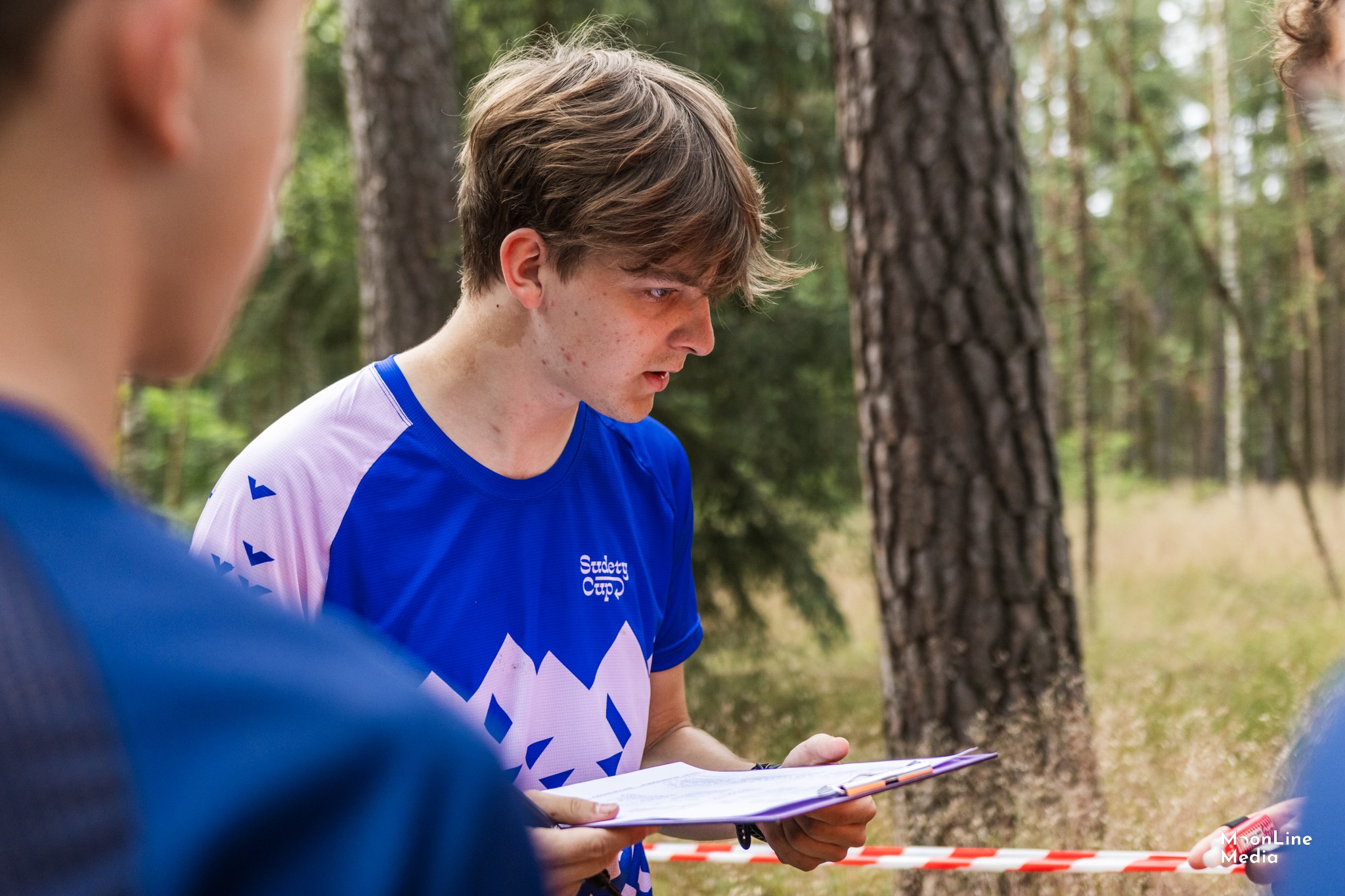
// Representing UNTS Warszawa in the club jersey.// My winning route from the 2024 Polish Championships, drawn on the competition map.
void cartography()
/*
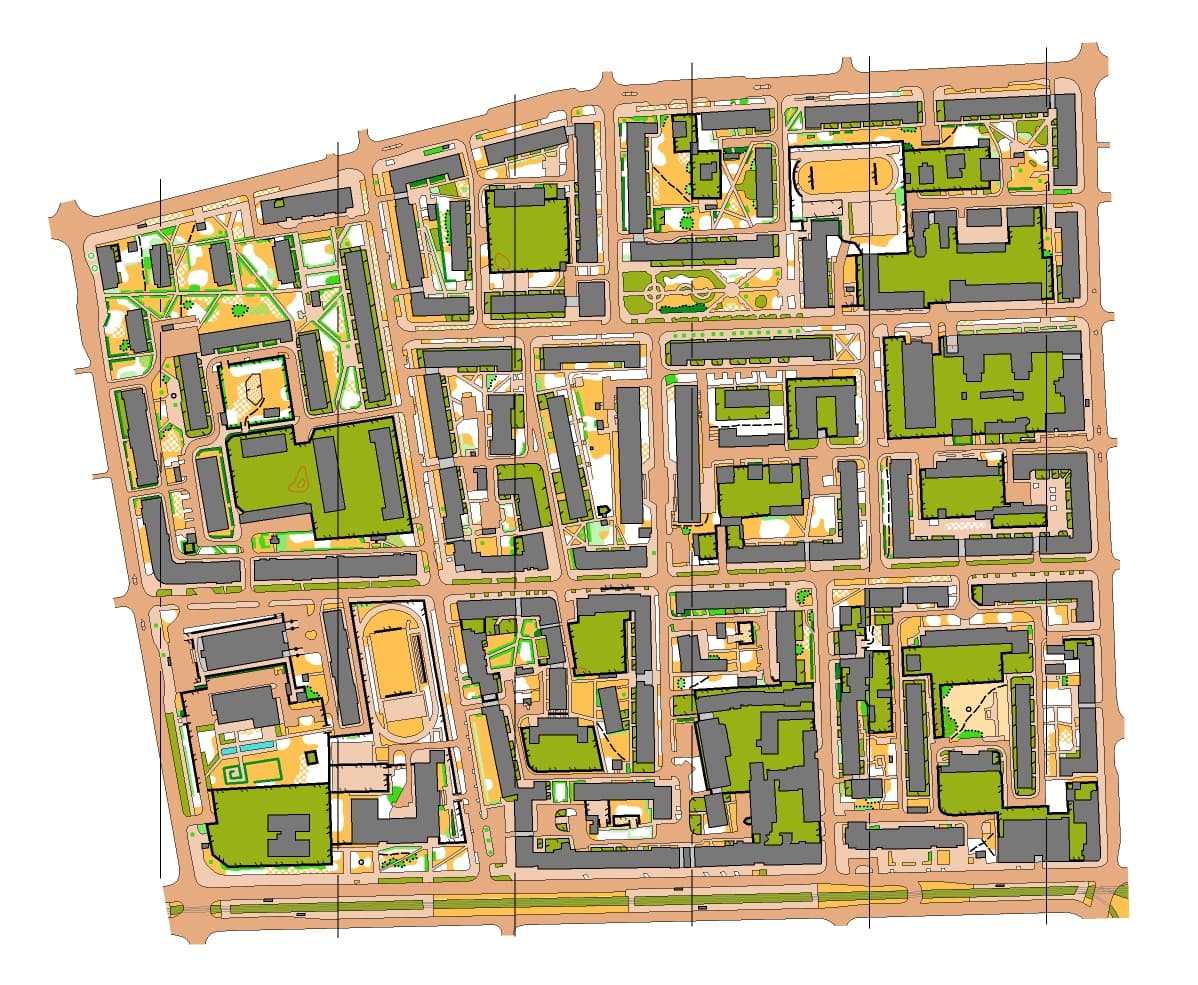
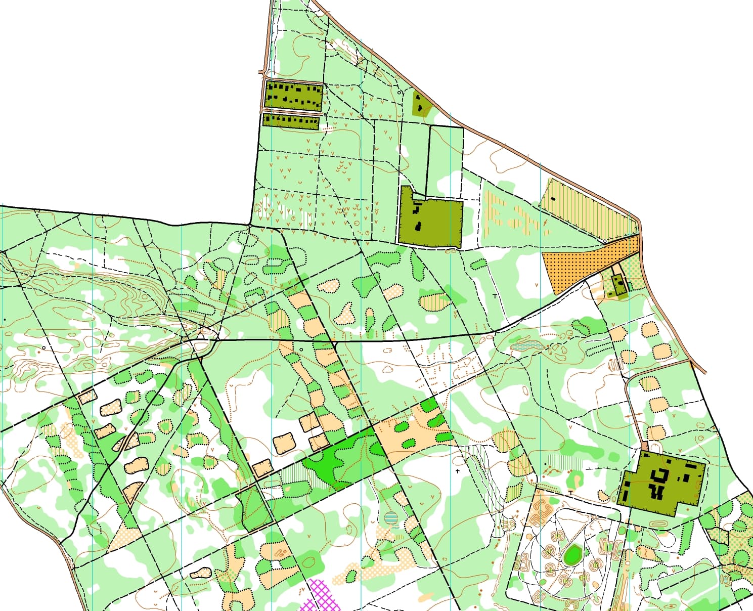
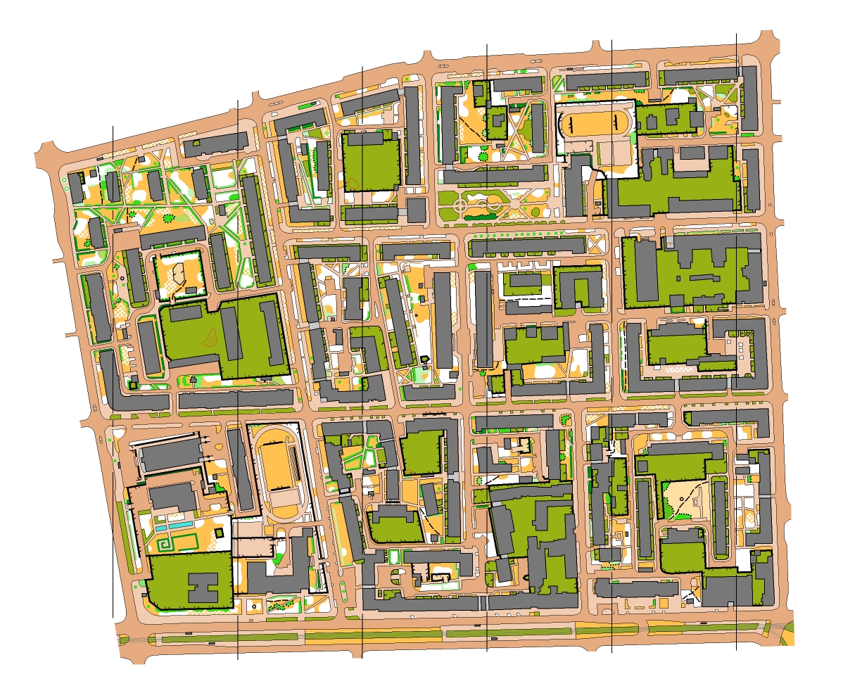
Beyond racing, I make orienteering maps myself. An orienteering map is far more detailed than a regular one: it shows landforms, vegetation density, fences, buildings and every path that can affect a runner's route choice, all drawn according to strict international specifications. I draw my maps in OCAD, starting from base materials like LiDAR elevation data and orthophotos, and then verify and complete the details in the field.
// Wiatraczna (2023): sprint map of Praga, Warsaw, around Rondo Wiatraczna.// Młochów (2024): forest map of Las Młochowski, south of Warsaw near Podkowa Leśna.
void organizing()
/*
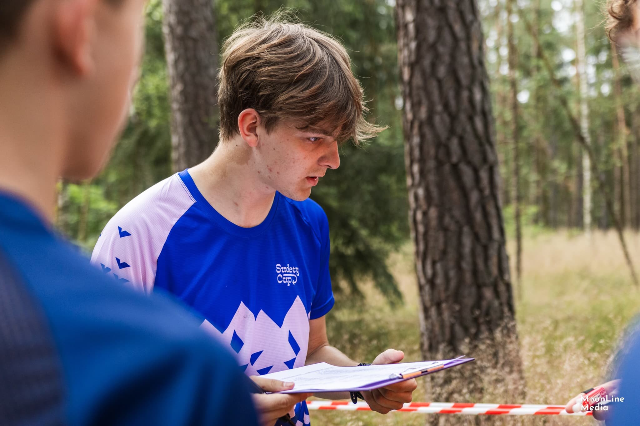
I also help organize orienteering competitions and take an active part in their preparation. I've been a member of the organizing team at events such as the 2024 Polish Championships in night and middle distance, the 2025 Polish Championships in ultralong distance, Sudety Cup, Mazury Cup and WMOC 2026 (World Masters Orienteering Championships) in Rzeszów.